Responsibilities and functions
The River Park stretches along the 80 km of the Sarca river shaft. Water thus becomes a common thread that unites very different but equally evocative territories, precious caskets of biodiversity: theupper course of the Sarca, with its alpine landscapes and the bright colours of the meadows and cultivated fields, and the lower course, known for its mild climate, picture-postcard lakes and an environmental heritage that already recalls the Mediterranean.
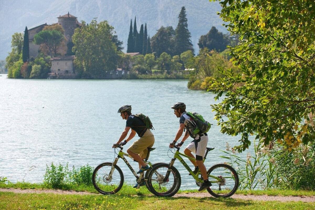
Glaciers, waterfalls, peat bogs accompany the upper course of the river, which rises from the majestic Adamello and Presanella glaciers and the sources of the Brenta Dolomites World Heritage Site, and concludes its course in just 77 kilometres inside the largest lake in Italy, Lake Garda. It is a short route, but one of rare beauty, passing through magnificent Alpine valleys. Of these, Val Genova and Vallesinella are among the closest to the source of the river, which then descends through the pastures of Val Rendena towards Busa di Tione. From here, the Sarca leaves its ancient course that saw it continue southwards to Lake Idro, and, turning eastwards, skims the banks of ancient villages until it enters the Giudicarie Esteriori basin. This is a valley with deep-rooted farming traditions, whose uniqueness has recently been recognised by UNESCO as the Alpi Ledrensi e Judicaria Biosphere Reserve. Now halfway along its course, the Sarca enters the narrow Limarò gorge and descends to the village of Sarche, where it finally regains its north-south direction to flow gently towards Lake Garda.
In this context, the Sarca is the backbone of a network of protected areas directly connected to the river from an ecological point of view, but which do not fall within the boundaries of the nearby Adamello Brenta Natural Park.
The River Park was created with the aim of enhancing sustainable tourism, protecting habitats and botanical and faunal species belonging to Natura 2000 sites, mitigating the impacts of the hydroelectric industry on the river, improving water quality and promoting a water culture through the constant involvement of local communities.