Description
Coding: CV-TN04
Length: 42.6 km
Type of surface: asphalt
Branches and junctions with other trails: Mostizzolo station slip road, Val di Pejo, Val di Rabbi
Traffic: limited, mixed traffic in town centre crossings and municipal sections
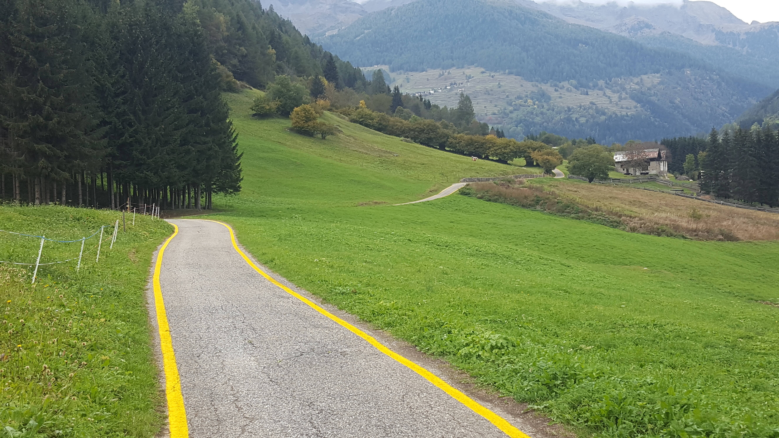
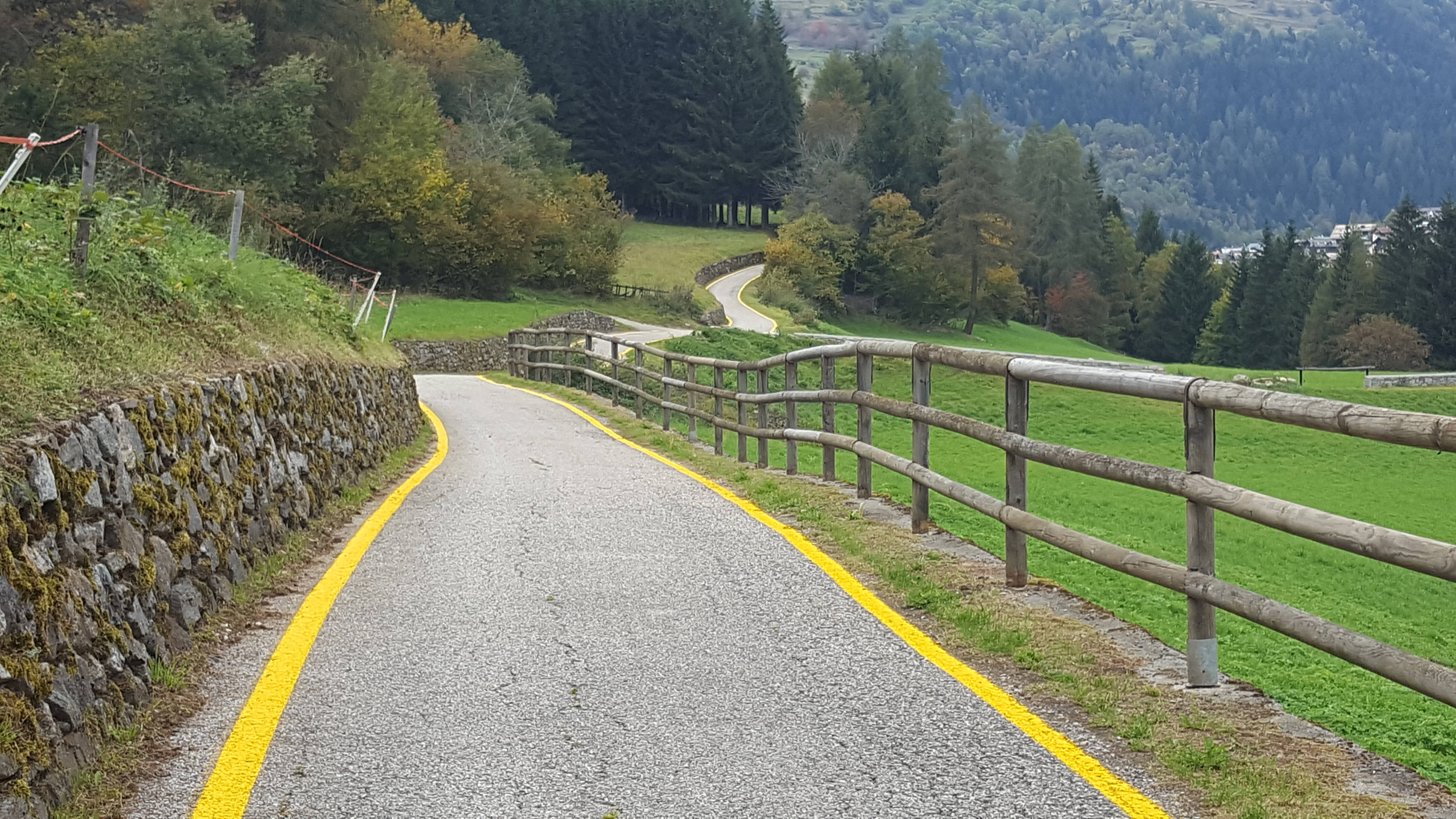
The Val di Sole cycle path follows the course of the Noce River, an important tributary of the Adige River. Starting from the gorge crossed by the Mostizzolo bridge, it takes the cyclist through alpine landscapes, woods, orchards and characteristic villages to Vermiglio.
The cycle route covers an altitude difference that goes from 595 metres in Mostizzolo to 1160 metres in Cogolo, in Val di Pejo, a northern branch of the upper Val di Sole, where the route becomes more challenging due to the presence of steep sections.
In 2024, the new branch-off from the hamlet of San Bernardo to Rabbi Fonti was opened.
The peculiarities of the environment along which the Val di Sole route winds has allowed the development of various points dedicated to outdoor activities, such as adventure parks and sports centres dedicated to water sports (rafting, canyoning, canoeing, kayaking, etc.), hiking, and mountain biking, offering a wide choice of activities to be carried out surrounded by nature.
To get to know the route
Trentino Marketing's advice
- TheVal di Sole cycle path - route and technical information for cyclists
- The Val di Sole cycle path - description and points of interest
Further information and guides
Guides dedicated to the cyclist, maps, descriptions and curiosities, anecdotes and advice for further visits to the area can be obtained from the relevant tourist offices:
Databases
Download the official tracks of the Trentino cycle routes in shp format